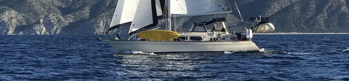
We are at Punta Baja, 195 miles south of the border. It appears to be a bit of a rolly anchorage. We are anchored in about 18 feet of water. There are lots of lobster/crab traps around, and perhaps tomorrow we will go ashore for lunch. Again, there is no dock, so that means that we will take the kayak.
This was a 35 mile or so trip south from Bahia San Quintin. We motored virtually the whole way, not at full speed, but at about 5 knots to conserve fuel. We ran the generator and made water for about 3 hours today bringing the tank up to about 80%. We also ran the heaters to try and dry out the interior of the boat some. One thing that we do to pass the time on this longer passages is listen to sermons. We heard the message from North Coast (Vista, Ca.) on Hebrews 4. August 12, 2017. We have also listened to some from Stonebridge church in Cedar Rapids, IA. We try to listen to the current message from one of these churches when we have internet, when we don’t we listen to one that was previously downloaded onto one of our devices.
It is a damp and overcast sort of day. Not much wind, and a little cool. But we are safely anchored and plan to spend a couple of days here.
(This was supposed to be a picture).
Punta Baja from the pacific side.
Renee’ suggested that I include a screenshot of where we are. So here is Google Earth and it shows where we are. Well, it would be IF I could get it to upload.
So, while we have 2 or 3 bars of signal (internet) it is 3G and actually very weak. I attempted to upload the second picture and failed, then tried to do an update with just the first picture in it. After 3 hours, I gave up and took the pictures out.