March 2, Monday, Bahia el Burro

We woke up at 7am, so much for sleeping in. Actually Renee’ got up and I slept in until about 7:30. It was pretty calm most of the night, and Renee’ said it was a fantastic sunrise, lot’s of red in it. (Red sky in the morning, sailor take warning). In any case we had breakfast in stages, we had oatmeal, did our devotions, and then a half hour or so later the fresh banana bread.

We planned to go ashore and take a hike, we are planning to be here three days so, we will have to do something. The next thing we had to think about was how to get ashore to do the hike. First thought was the kayak, it is a beach landing and the kayak is easier ashore. BUT, we get wet in the kayak and this morning is cold, probably 65 or so. It is overcast and there is no wind. So, we decided that we would take the dinghy, that sounded good until we were actually in the process of getting the dinghy down and decided it was too cold for that as well, (when we get ashore with the dinghy, we have to get out in the water) so, we decided that today would be a stay on the boat sort of day. Reading and relaxing, some days are like that.

Renee’ talked to her mother for a bit on the satellite phone, and we are reading and lazing about.

If you want to know where we are, click this link:

https://forecast.predictwind.com/tracking

Just another AWESOME sunset!

March 1, Sunday traveling from San Juanico to Bahia Concepcion

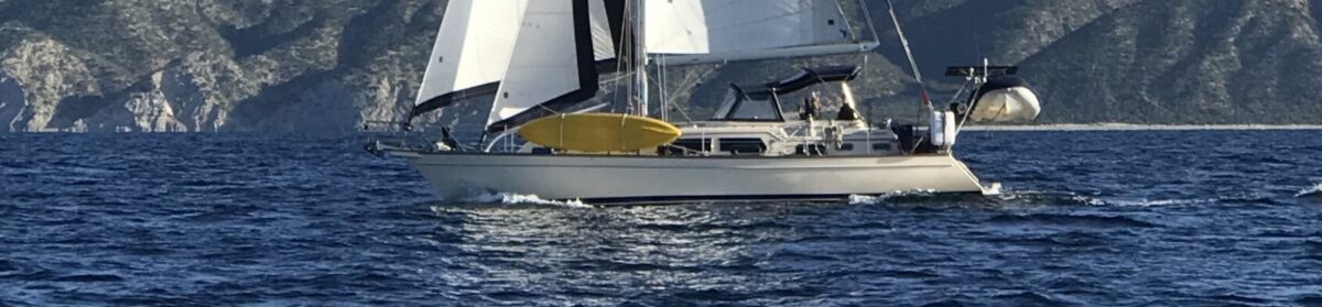
We got up at about 6:45, and underway by 7:30. Breakfast and devotions underway. We had about 20 knots of wind from the east as we were headed north, so great sailing weather! We got as high as 7.5 knots boat speed! It helps that we just had the bottom cleaned. We sailed for about 5 hours most of the time above 6 knots. Finally the wind was coming from the wrong direction and then it went away, so we motored for a quite a bit. Total travel distance today about 65 miles. This makes for a very long day. We anchored in Bahia el Burro in Bahia Concepcion. This is the furthest north we have anchored in the Sea of Cortez.

Along the way, we saw a bunch of birds, and a whale or two not too far off. We also found out that this part of the Sea has been called the Vermillion Sea, this is due to the reddish slick on the water from the stuff growing. One book “ Charlies Charts” referred to as an “burst of life of millions of tiny sea organisms which seem to tint the water during certain periods”.

When we finally arrive at this anchorage, at about 6 pm, we managed to find the end of the 20 foot depth, it went from 60 to 30 like normal (gradually getting shallower) then from 30 to 20 was about the same, and from 20 it went to 5 feet. We stopped at 4.4 feet. The problem with that, is that we draft 5 feet. So, I put the engine in reverse and put the rudder in the middle and locked it, then brought the engine RPM to 2500 and left it there. I used the bow thruster to move the boat to the left (it seemed like the right direction to go) and we sat there for a minute or two, eventually we backed out into deeper water. When we got to about 25 feet we stopped the boat and dropped our anchor. We know have a “First” that is the first time we have run ”this boat” aground. Thankfully it was soft mud, and not too sticky. We did not even feel it, but we definitely were aground. We were moving from 7:30 am to 6:30 pm. That makes 11 hours to cover about 65 miles, average speed about 6 knots! Like I said a great day!

We had dinner, took showers and then went to bed. It was a long day.

If you want to know where we are, click this link:

https://forecast.predictwind.com/tracking

Sunrise, looking at another Island Packet
Same sunrise, looking the other way
This is the red stuff that causes the sea to be named “Vermillion”
More of the stuff
Just another sunset