We got up this morning and made a slow start. We spoke to the one other boat that we had seen anchored near us both in Puerto Santo Thomas and in Punta Colonett. Their boat is the “Lost Pearl” they said that they would be staying there an extra night. So, we might see them again, or we might not.
In any case, we headed south to Isla San Martin, this is a small round island that is the remains of a volcano. We planned to anchor in the small fishing bay, but the wind was coming from due north right into the bay, so we went to the alternate anchorage, the south side of the island. Not quite as protected, but then again, not in the wind.
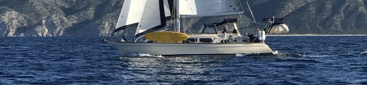
We anchored in about 25 feet of water. On the way here, we sailed wing-on-wing (main sail out to stbd, Jib out to port, with the wind very close to directly behind us). We made about 5.5 to 6.0 knots this way for a couple of hours. I used the preventer on the mainsail and it was a very quiet ride. I tried to upload a picture of this, but alas the internet signal here is not up to the task.
Renee’ started her fishing career. At least she got the lure out in the water for an hour or two, but did not catch anything. I have a picture of this event, but again, no joy in uploading it.
Tomorrow we plan to either kayak or dinghy ashore and go for a short hike, then back to the boat and sail to Bahia San Quintin/Bahia Santa Maria. It is a short 10 miles to the next anchorage, we plan to spend a couple of days there. There is a small village and we expect to find a store and maybe get some more fruit.

This is the picture that failed to upload earlier of Wing-on-Wing. I tried reducing the resolution so the picture may not be as sharp as the others. The small black lines going out to the end of the boom are the preventers.

Renee’ fishing for the first time off our boat. Alas, no dinner from the sea tonight.

 Another view of Punta Colonett.
 This is the plug that provides the external antenna to the Iridium GO!
 This is the socket on the Iridium GO!
 This is the screen shot of the Anchor App that I referred to. The heavy marks in the middle are our tracks for two days of anchoring in Puerto Santo Thomas, the marks to the left side are our tracks for the third day here. When I took the screen shot, I moved the anchor on the app, which changed where the circle was, which is the alarm point. This shows how close we are anchored to where we were the first two days.

